GIS with QGIS in Bonn: Understand and Create Geodata Practically
Date and Time
Location
About this Event
Mood
Venue Type
Understanding Geodata and Making it Visible with QGIS
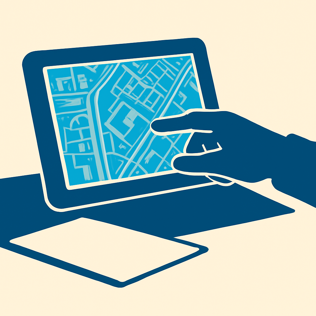
Geographic Information Systems shape the work in companies, authorities, and many other areas today. The VHS course Introduction to Geographic Information Systems (GIS) with QGIS provides practical knowledge on how to create, display, analyze, and prepare geodata for printable maps.
Practical Introduction to the GIS World
The focus is on fundamental data formats, data structures, and core GIS functions. Participants learn what characterizes geodata and how spatial information can be clearly visualized. Working with QGIS connects subject matter understanding with concrete exercises on the computer.
QGIS as Free Open-Source Software
QGIS is a free-to-use open-source application for Windows and iOS. The course demonstrates how to install the software and use it for initial GIS projects. At the end, a look ahead at advanced data analyses opens additional perspectives for professional and personal applications.
Independent Work at the House of Education
Tasks will be worked on independently at the workstations of the Volkshochschule Bonn. Average PC skills are sufficient for participation. Data and tutorials will be provided. A USB stick and a notebook are recommended equipment. Dr. Mario Valdivia Manchego will accompany the five-day course as the instructor.
Event Experience for Profession and Further Education
The calm learning atmosphere at the House of Education creates space for focused work, illustrative map information, and direct exchange with other interested participants. The event is aimed at beginners who wish to build GIS skills for the workplace, further education, or personal projects.
Conclusion: Anyone who wants to not only view geodata but also create, analyze, and professionally present it will find a structured introduction in this QGIS course. Experience the fundamentals of Geographic Information Systems live in Bonn and develop your digital map skills step by step.
Official Channels of Volkshochschule Bonn:
- Instagram: no official profile found
- Facebook: no official profile found
- YouTube: no official profile found
- TikTok: no official profile found